

Raised-relief map 3DMAP Le Massif Des Vosges
Original price was: £34,71.£10,41Current price is: £10,41.
Description
- Raised-relief map Le Massif Des Vosges
The Le Massif Des Vosges 3D map from the brand 3DMAPoffers a detailed and accurate representation of this region. Designed at a scale of 1320,000, this 3D map highlights major tourist and sporting sites, including France’s most beautiful villages, castles, ski resorts and Grandes Randonnées trails. The 1:60,000 altimetric scale allows clear visualization of relief. With dimensions of 410 x 610 mm, this 3D map is ideal for practical, informative use.
Characteristics of the 3DMAP Le Massif Des Vosges:
- Scale: 1 : 320,000
- Tourist sites:
- Plus beaux villages de France, network of major Vauban sites, castles, historic monuments, religious heritage, museums, observatories, orientation tables, waterfalls
- Sports sites:
- Refuges, mountain gîtes, Grandes Randonnées trails, whitewater activities, via ferrata, beaches, ski resorts, paragliding practice sites (take-offs, landings), airports, aerodromes
- Altimetric scale: 1 : 60,000
- Dimensions: 410 x 610 mm
Technical data Raised-relief map Le Massif Des Vosges
-
Gender
MenWomen
-
EAN code
9791097206550
-
Reference nr
3DMA1057139
-
SKU
VOSG-59
-
Destination
France
Related products
-
Sale!

Poles C.A.M.P. Backcountry Carbon Women Black Pink
Original price was: £46,89.£14,07Current price is: £14,07. -
Sale!
-
Sale!
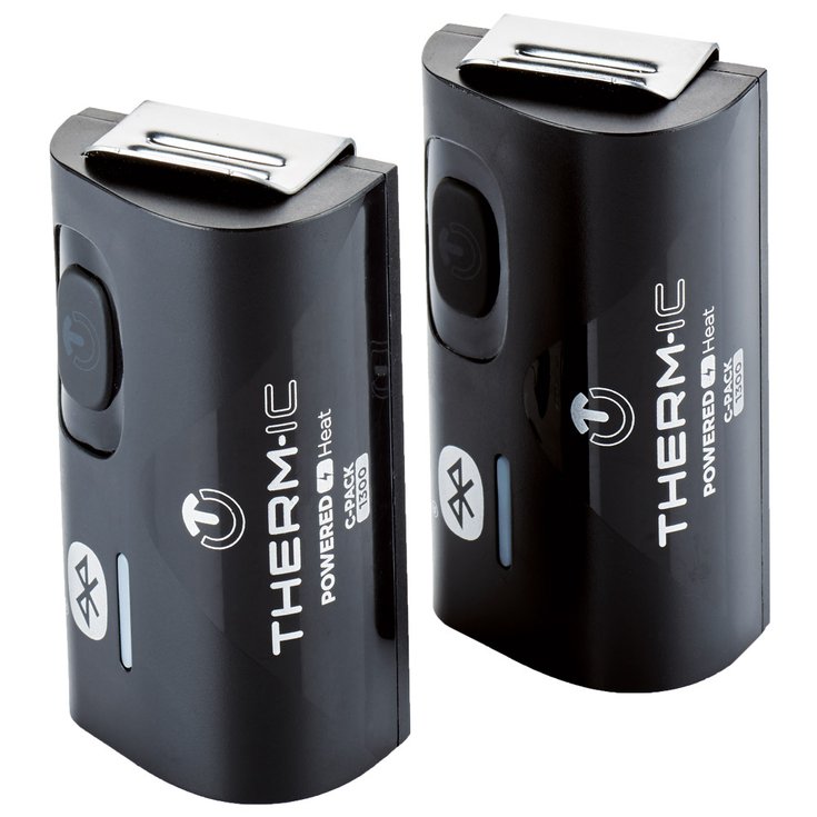
Battery Therm-Ic C-Pack 1300 B
Original price was: £109,56.£32,87Current price is: £32,87. -
Sale!
Reviews
There are no reviews yet.