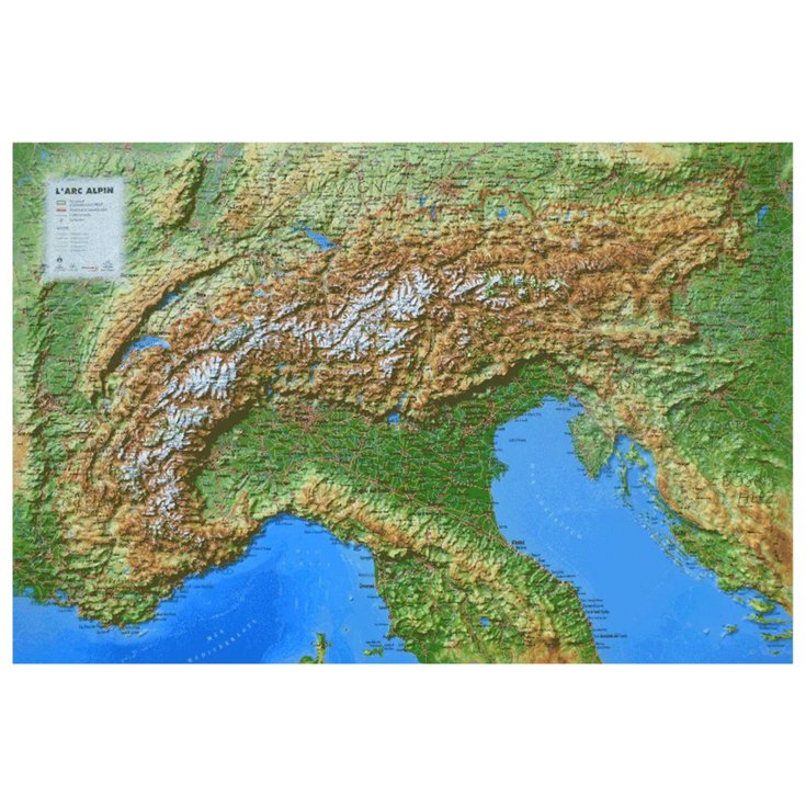
Massif De L’arc Alpin + Frame
Original price was: £60,72.£18,22Current price is: £18,22.
Description
- Raised-relief map Massif De L’arc Alpin
The 3DMAP 3D map of the Alpine Arc Massifoffers a visual immersion into the European landscape, revealing a wealth of detail about this majestic region. It integrates hydraulic and natural information, depicting the unique topography and altitude variations through hypsometric data. This mapping representationalso includes administrative features such as national borders, making it easier to plan cross-border trips. Notable tourist sites, including national parks and UNESCO World Heritage sites, are clearly marked, providing an invaluable visual guidefor explorers of these natural wonders. For outdoor enthusiasts, the map highlights important passes and hiking routes, including the perimeter of the Alpine Convention. The various Via Alpine routes, distinguished by colors such as red, purple, yellow, green and blue, are also indicated.
Characteristics of the 3DMAP Massif de L’Arc Alpin:
- Destination: Europe
- General data:
- Hydraulic, natural and hypsometric data
- Administrative data
- National borders
- Tourist sites: national park and Unesco natural heritage
- Sports and hiking sites:
- Alpine convention perimeter
- Important soils
- Via Alpine: red, purple, yellow, green & blue itinerary
- Planimetric scale: 1/1,700,000
- Altimetric scale: 1/150,000
- Size: 41 x 61 cm
This is an automatic translation. If you have any further questions, please contact our staff.
Technical data Raised-relief map Massif De L’arc Alpin
-
Gender
MenWomen
-
EAN code
9791097206437
-
Reference nr
3DMA0928357
-
SKU
979-10-9726-43-7
-
Destination
FranceEurope
-
Activity
Hiking


Reviews
There are no reviews yet.