

L’Aveyron + Frame
Original price was: £60,72.£18,22Current price is: £18,22.
Description
- Raised-relief map L’Aveyron
The L’Aveyron 3D map from the brand 3DMAPoffers a detailed and accurate representation of this French region. Designed at a scale of 1 : 250,000, this 3D map highlights tourist sites such as France’s most beautiful villages, towns and countries of art and history, as well as listed sites and cultural heritage. Sports enthusiasts will also find information on Grande Randonnée trails, canyoning, via ferrata, climbing and white-water activities. With an elevation scale of 1 : 90,000 and dimensions of 410 x 610 mm, this 3D map is a complete tool for exploring Aveyron.
Aveyyron 3D map specifications:
- Scale: 1 : 250,000
- Tourist sites:
- France’s most beautiful villages, towns and countries of art and history, listed sites, cultural heritage, museums, natural sites, waterfalls, gorges, caves or chasms
- Sports sites:
- Grand Randonnée trails, Grandes Randonnées de pays trails, canyoning sites, via ferrata, climbing sites, whitewater activities, paragliding practice sites (take-offs and landings), airports, airfields
- Altimetric scale: 1 : 90,000
- Dimensions: 410 x 610 mm
Technical data Raised-relief map L’Aveyron
-
Gender
MenWomen
-
EAN code
9791097206536
-
Reference nr
3DMA1057140
-
SKU
AVEY57
-
Destination
France
Related products
-
Sale!
-
Sale!
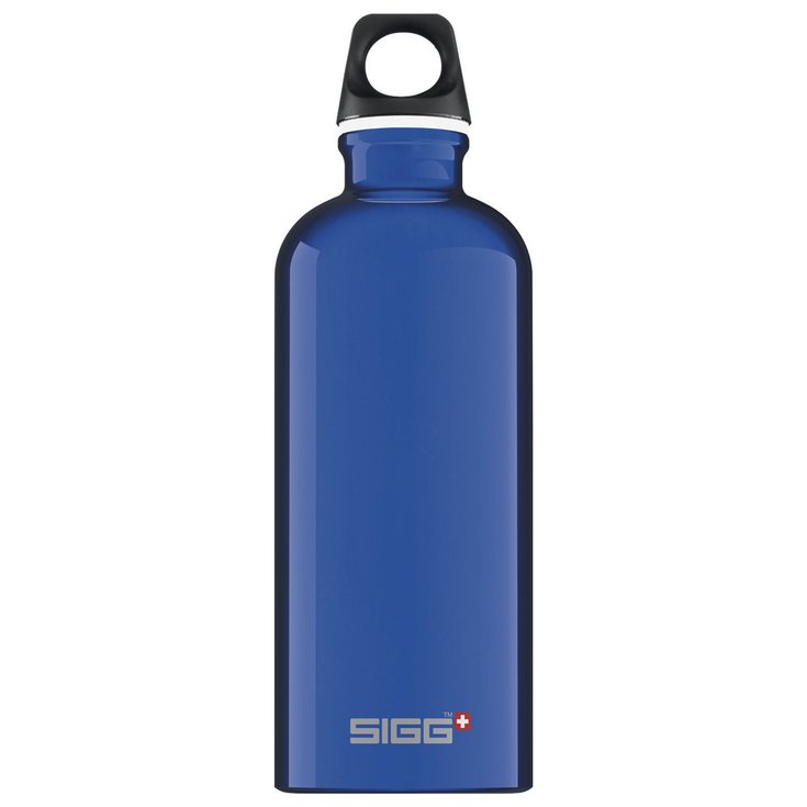
Water Bottle Sigg Traveller 0,6L Blue
Original price was: £15,57.£4,67Current price is: £4,67. -
Sale!
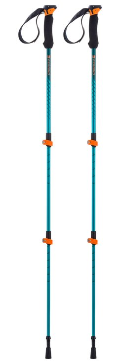
Poles Ferrino Stick Ultar Bleu / Noir
Original price was: £36,45.£10,94Current price is: £10,94. -
Sale!
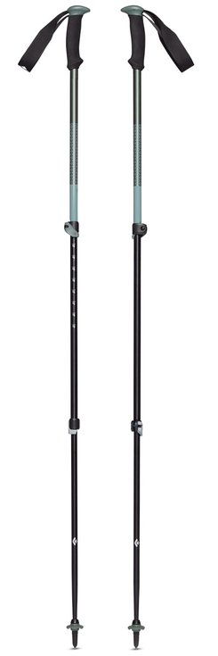
Poles Black Diamond Trail Sport Laurel Green
Original price was: £32,58.£9,77Current price is: £9,77.
Reviews
There are no reviews yet.