

Annecy + Frame
Original price was: £60,72.£18,22Current price is: £18,22.
Description
- Raised-relief map Annecy
The Annecy 3D map from the brand 3DMAPoffers a detailed representation of the region with a scale of 1:60,000. This 3D map includes tourist sites such as castles, historical monuments, museums, as well as religious heritage. Sports enthusiasts will find information on refuges, mountain gîtes, Grandes Randonnées and Maxi Race & Trail Europe trails, as well as alpine ski resorts and via ferrata sites. White-water activities and paragliding sites are also listed. The dimensions of this 3D map are 610 x 410 mm, offering a complete and accurate view of the region.
Annecy 3D map specifications:
- Scale: 1 : 60,000
- Sightseeing sites:
- Chateau, historic monument, museum, religious heritage, observatory, orientation table, waterfall, gorge, cave, pass
- Sports sites:
- Refuge, mountain lodge, Grandes Randonnées trail, Maxi Race & Trail Europe trail, alpine ski resort, via ferrata, whitewater activities, paragliding practice sites (take-offs and landings), airports, beaches
- Altimeter scale: 1 : 60,000
- Dimensions: 610 x 410 mm
Technical data Raised-relief map Annecy
-
Gender
MenWomen
-
EAN code
9791097206574
-
Reference nr
3DMA1057143
-
SKU
ANN61
-
Destination
France
-
Activity
Hiking
Related products
-
Sale!
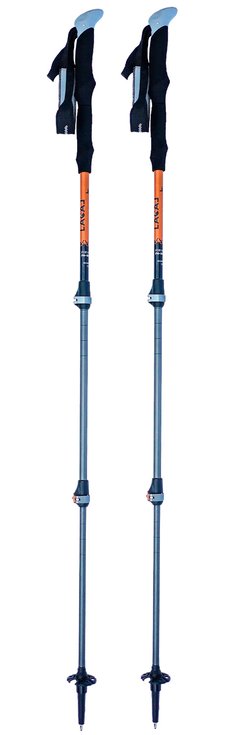
Poles Lacal Alu Stick Light 135 Orange
Original price was: £42,57.£12,77Current price is: £12,77. -
Sale!
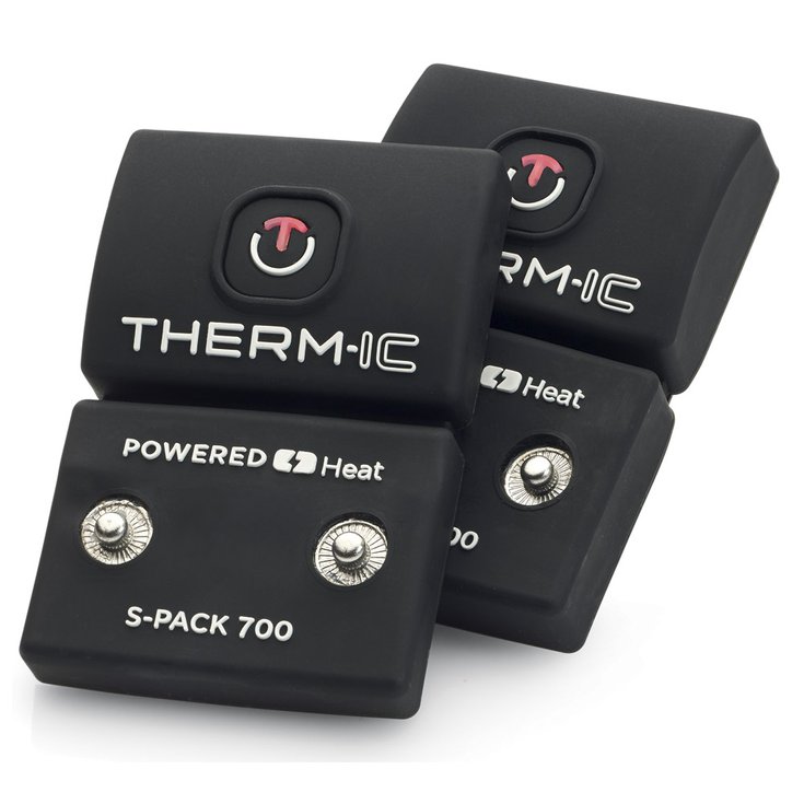
Battery Therm-Ic S-Pack 700 Black
Original price was: £91,29.£27,39Current price is: £27,39. -
Sale!
-
Sale!
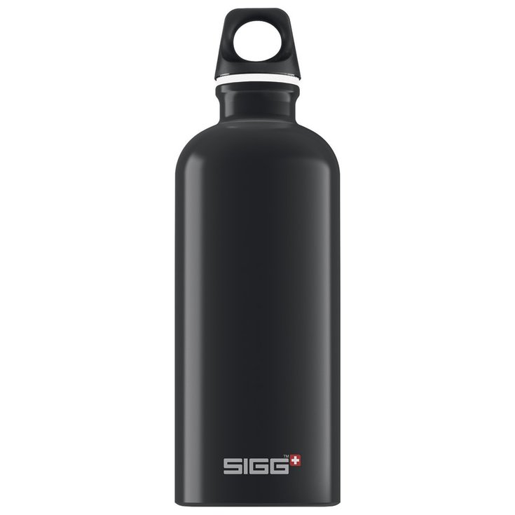
Water Bottle Sigg Traveller 0,6L Black
Original price was: £15,57.£4,67Current price is: £4,67.
Reviews
There are no reviews yet.